ECS offers wetland assessment and delineation as part of a comprehensive suite of natural resources services. This service helps property owners and builders determine whether regulated wetland or stream features are present within a property boundary and is important prior to site planning for land development or other construction projects.

What constitutes a wetland?
Wetlands are areas where water is either near or at the soil surface for some part of the year or where water inundates the soil during extended portions of the year. A wetland can be home to various species, including both terrestrial and aquatic plants and animals. The US Environmental Protection Agency (EPA) divides wetlands into two categories: coastal and inland.
Coastal wetlands
Also known as tidal wetlands, coastal wetlands are located along the Alaskan, Gulf, Pacific and Atlantic coasts. These wetlands are connected to the country’s estuaries and often contain saltwater, as the freshwater from the rivers mixes with the saltwater from the sea or ocean. Due to the salinity of the water, most coastal wetlands are hospitable only to certain species of vegetation.
Inland wetlands
Sometimes known as nontidal or freshwater wetlands, they often form along the floodplains of streams and rivers. They may also exist in depressions next to ponds and lakes or low-lying areas where groundwater rises to the soil surface. In some cases, inland wetlands develop when rain saturates the soil or where a confining soil feature prevents water movement through the soil profile.
Since the water in an inland wetland is usually fresh, the areas are often lush with plant life. Examples include wooded swamps, wet meadows and marshes.
Three components of wetland identification
The US Army Corps of Engineers (USACE) identified three criteria an area must meet to be classified as a wetland. During a wetland assessment, a wetland scientist evaluates the following components:
1. Hydrology
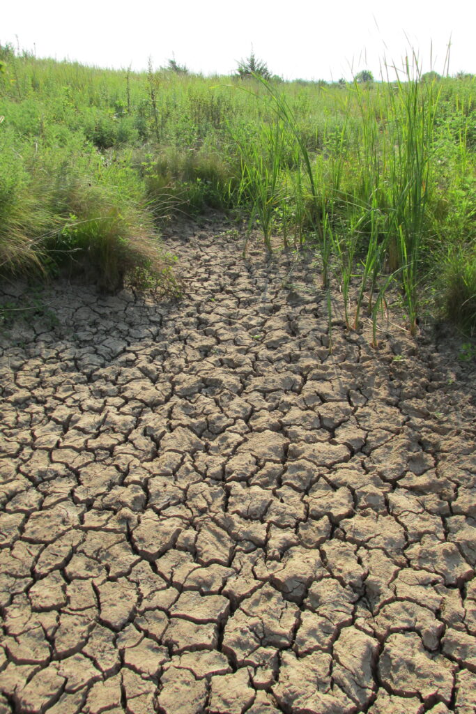
Hydrology relates to the presence of water on a site and the timing and frequency with which the water covers the soil. To be a wetland, an area must be saturated with water during part of the growing season. Growing seasons differ depending on geographic location and temperature regimes. Many wetlands are seasonal and do not have signs of hydrology for some part of the year.
During a wetland assessment, a wetland scientist considers primary and secondary indicators of hydrology, depending on the season or rainfall conditions.
 2. Hydric soil
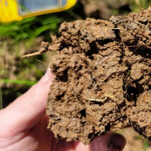
Periods of saturation, ponding or inundation change the chemistry of the soil and result in different hydric soil indicators. Most notable wetland soil indicators are very distinguishable by the dark color; however, others hydric soil indicators are described with faint and diffuse characteristics requiring more skill to identify. ECS wetland scientists are trained to identify these hydric soil indicators, which vary depending on geographic location and soil texture.
3. Hydrophytic vegetation
Hydrophytic vegetation refers to species that are biologically suited to survive and in some cases thrive, in a saturated or inundated environment. Trees, saplings, shrubs, herbs and woody vines are provided a status in the National Wetland Plant List based on their likelihood to grow in these areas. Each species within a potential wetland, or upland, is identified while noting its status and the approximate coverage to determine the dominant species within each stratum (canopy, subcanopy, shrub and herbaceous).
ECS’ wetland assessment process
The wetland assessment process involves multiple stages and types of evaluation. An in-depth desktop review is performed prior to a site visit, allowing the wetland scientist to identify potential areas of concern. During the desktop review, a wetland scientist examines soil maps, photographs, topographic maps, LiDAR digital elevation models and floodplain maps to assess whether the conditions of a certain area are conducive to the development of a wetland or other regulated surface water.
The next step is to conduct a field assessment to note signs of the three crucial components described above using wetland data sheets. A datapoint within each community is selected to document the hydrology, soils and plant communities and document the boundary between wetland and upland areas.
Finally, the scientist delineates the identified wetlands using flagging to establish clear boundaries between wetlands and uplands. Once wetlands and other regulated surface waters have been delineated, ECS coordinates with the regulatory agencies to verify and document the findings. Documentation typically refers to a jurisdictional determination from the USACE and other state or local documentation that may be required.
Significance of timely wetland assessment in the land-development process
 There are risks that can be estimated based on the local regulatory framework and history of your project site. A wetland assessment conducted prior to site development design can save you considerable time and money. Following a review of the assessment results, you’re provided with the necessary information to apply for required impact permits, saving you costly project delays
In some circumstances, after consideration of the results of a wetland assessment, a change in design may be applicable to meet project goals and to avoid costly mitigation fees associated with impacts to wetlands and streams. With the information in-hand early in the planning process, site planners can potentially design around regulated features to avoid or minimize impacts, thereby making your project more financially feasible and able to adhere to project timelines.
A wetland assessment helps reduce the risk of wetlands, or other regulated surface waters, delaying your project. Contact us to learn how our environmental experts can help make your project a success.
SHARE THIS POST

